UN Assistant SG and UNDP Regional Director visits project site
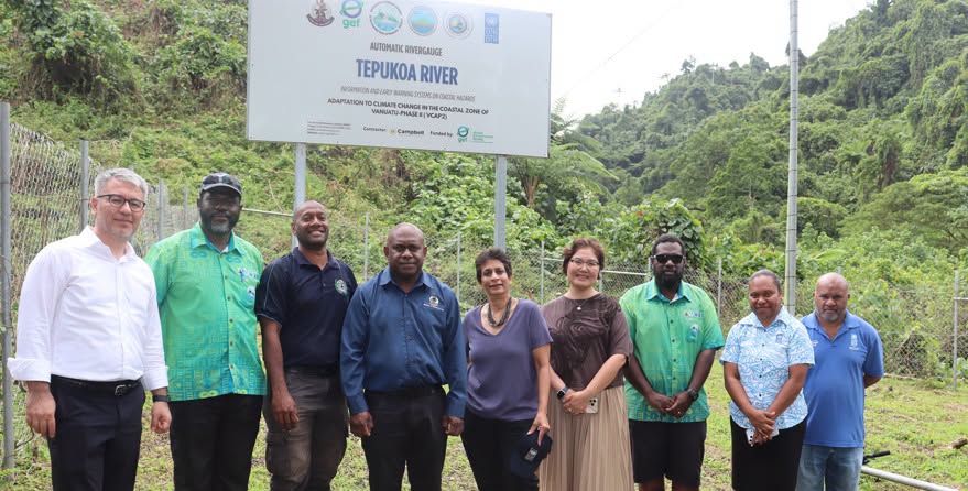
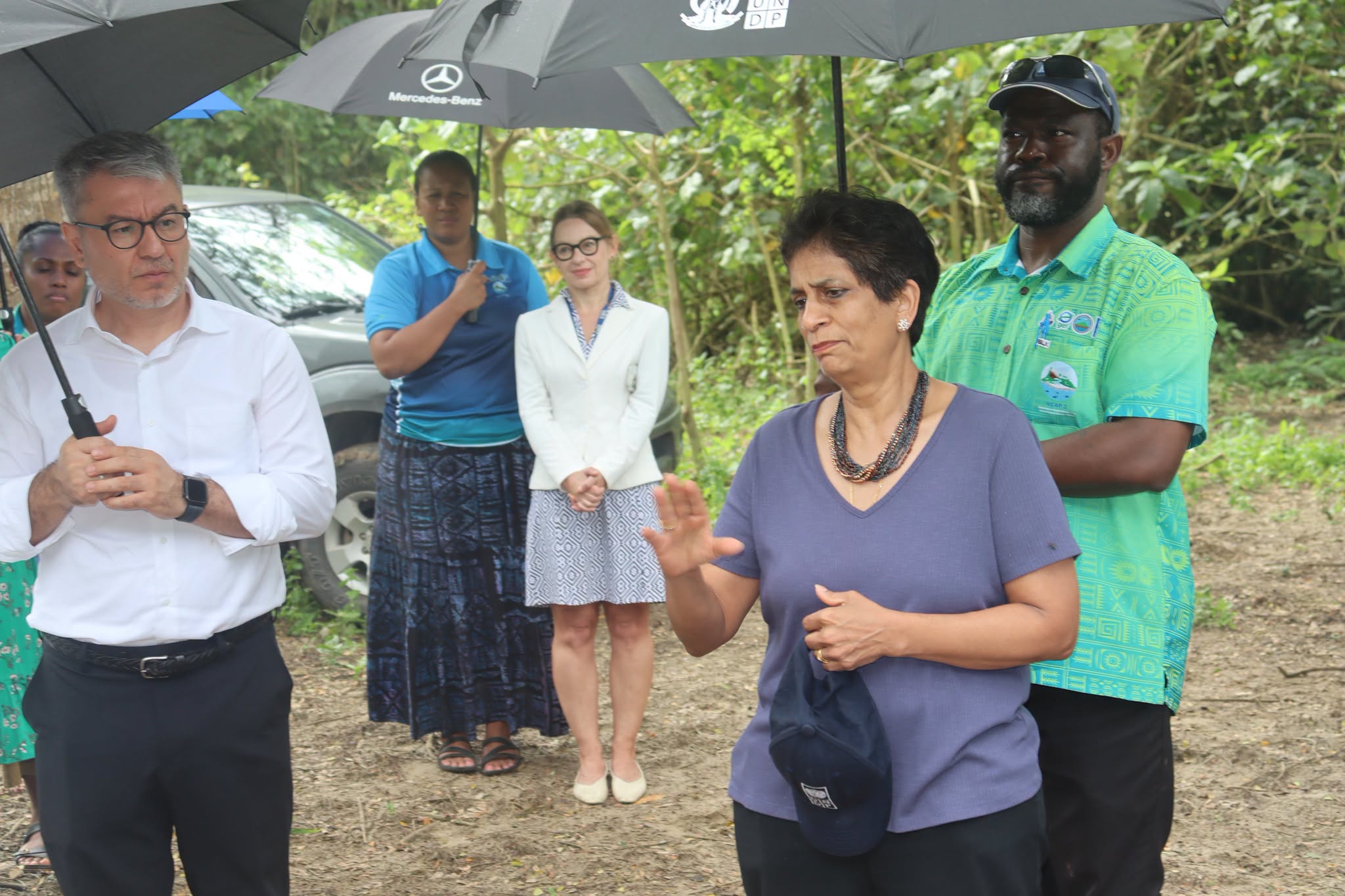
The United Nations (UN) Assistant Secretary-General and United Nations Development Programme (UNDP) in Asia and the Pacific Regional Director, Kanni Wignaraja, visited one of the project sites for the Automatic River Gauge (ARiG) on Efate in Vanuatu on July 22, 2026.
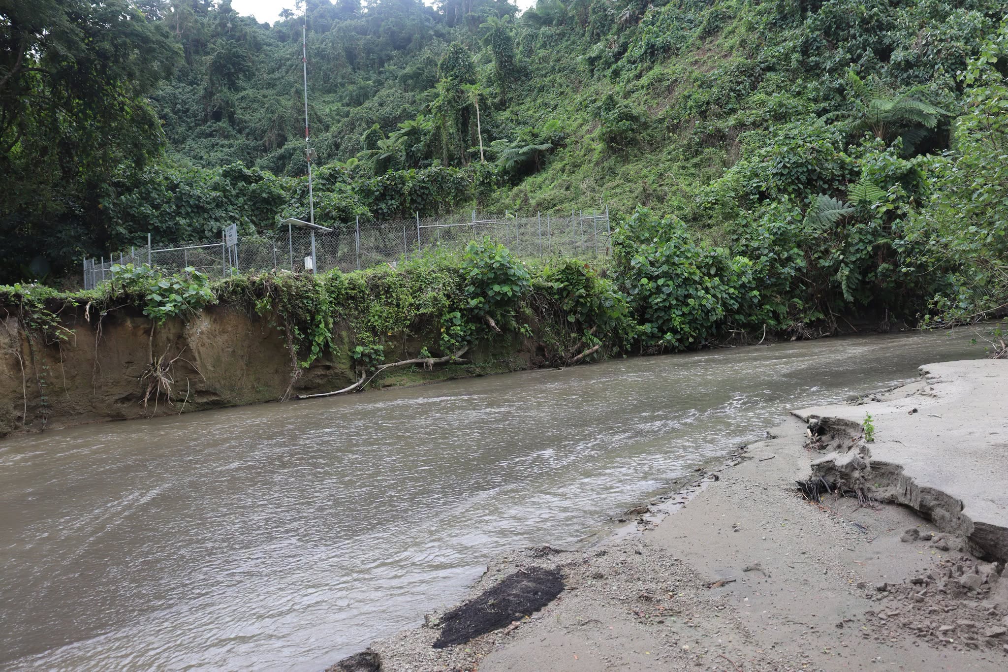
The high-level delegation that visited the project site along the upper area of Tepukoa River, that runs next to Mele Village, included Director General of the Ministry of Climate Change (MoCC), Mr David Gibson.
Vanuatu’s Ministry of Climate Change, through the Department of Climate Change and the United Nations Development Programme are implementing partners for the VCAP2 project.
One of the components of the VCAP2 Project in Vanuatu is the installation of Automatic River Gauges (ARiG) that strengthens Vanuatu's hydrological monitoring and early warning system.
The installed equipment ensures the continuous monitoring of river levels and transmission of real-time data, that is integrated into the Vanuatu Meteorology and Hydrometeorological Services (VMHS) monitoring platforms to support real-time monitoring and the national Early Warning System for the public.
This river gauge is part of a network of ARiG that will generate baseline hydrological data to improve understanding of river behaviour and establish flood thresholds for future early warning.
The data collected will strengthen flood forecasting, disaster preparedness, and evidence-based decision-making, contributing to Vanuatu's long-term resilience to flood hazards.
The data is collected and stored by the Vanuatu Meteorology and Hydrometeorological Services (VMHS), formerly known as Vanuatu Meteorology and Geo-Hazards Department (VMGD).
The Mele River ARiG is one of six river gauges installed under the VCAP2 project, contributing to Vanuatu's expanding hydrological monitoring network.
It will complement other river gauge installations at Sarakata, Teouma, Prima, Navaka, and Pankumu Rivers to improve national flood monitoring and early warning capabilities.
Installation of the ARiG network will now ensure real-time monitoring of river water levels; provision of early warning of flooding through continuous measuring changes in river levels and transmission of data to VMHS; support for flood forecasting and disaster risk reduction, allowing authorities and communities to receive timely warnings before floodwaters become dangerous; strengthening of Vanuatu's national Early Warning System (EWS) by integrating river level data with weather observations from Automatic Weather Stations (AWS); provide hydrological data for water resource management, climate monitoring, infrastructure planning, and future flood risk assessments and improve community resilience by enabling faster response from the National Disaster Management Office (NDMO), VMHS, and local authorities during heavy rainfall events.