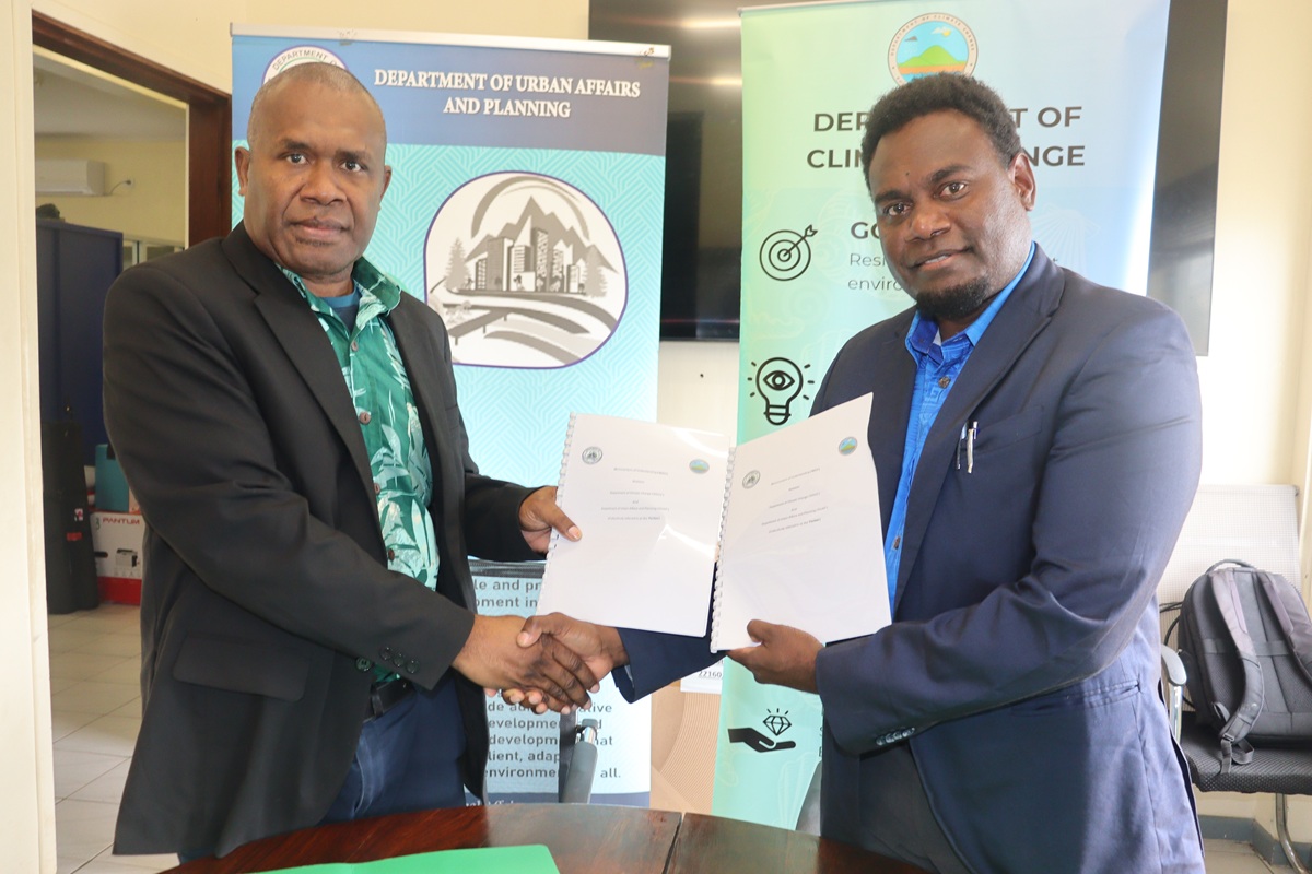
DoCC and DUAP Sign Agreement on Geospatial Data and Information Sharing
The Department of Climate Change (DoCC) and the Department of Urban Affairs and Planning (DUAP) signed a Memorandum of Understanding (MOU) on Friday (September 25, 2026) last week on the sharing, management and use of geospatial data and information.
This will ensure that climate, hazard and spatial information is better used to support evidence-based policy development, risk-informed planning and decision-making.
The Director of DoCC under the Ministry of Climate Change, Mr Mike Waiwai and the Director of DUAP under the Ministry of Internal Affairs, Mr Jeffrey Kaitip, were present to sign the agreement.
This MOU provides a framework for DOCC and DUAP to work together on the sharing, managing and using LiDAR (remote sensing) and other geospatial data.
It will help both Departments access and use reliable spatial information to support their respective roles, planning activities, policy developments and decision-making.
Effectively, the collaboration under the MOU will see the two departments work together to:
• Share, manage and use LiDAR and other relevant geospatial data
• Support climate change, urban and infrastructure planning
• Support disaster risk reduction - hazard, exposure and risk mapping, emergency planning and recovery
• Strengthen Geographic Information System (GIS) and remote sensing capacity through joint training, knowledge sharing and technical support
• Develop and use decision-support tools and integrate climate and disaster risk information into planning
• Carry out joint mapping and assessments of vulnerable infrastructure and critical assets
• Work together on projects and funding opportunities that support the priorities of both departments
This MOU marks an important milestone for the two departments as it will improve access to and sharing of geospatial information between the two Departments and support wider information sharing across Government.
For DUAP, this will support urban planning initiatives by providing access to relevant climate, hazard and geospatial information when developing plans, policies, zoning and development controls and other planning decisions.